
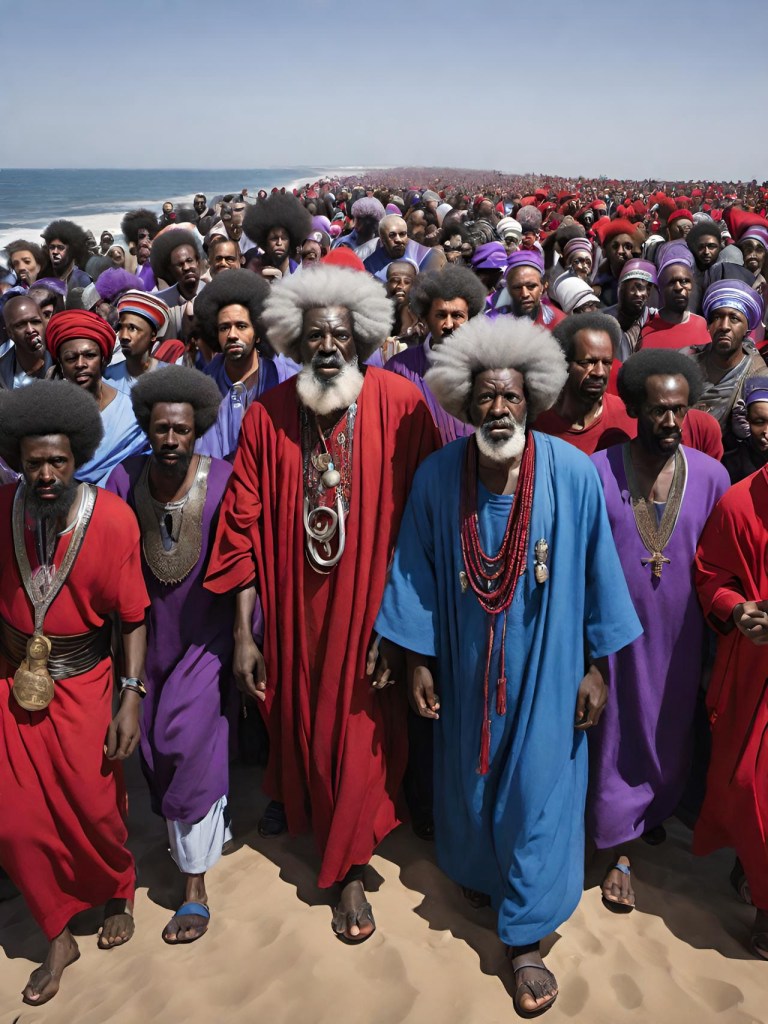
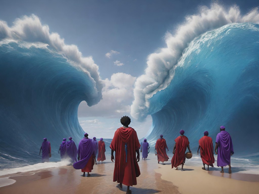
The ‘Red Sea’ in the Hebrew bible (Tanakh) and the Aramaic Targums translates as ימ סוף or 𐤉𐤌 𐤎𐤅𐤐 (YM SUP) pronounced “eem soup” 🍜 . The meaning in Hebrew & Aramaic doesn’t mean ‘Red Sea’ though, it means ‘Reed Sea’. In my research I’ve found that North America contains the true Holy Land, and the maps below provide just a little bit more proof to prove that claim.
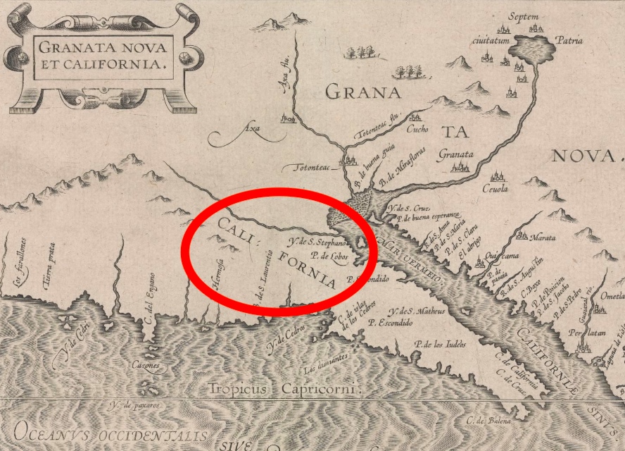
1597 C.E.
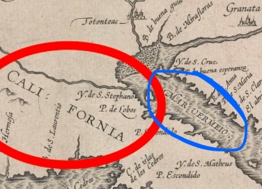
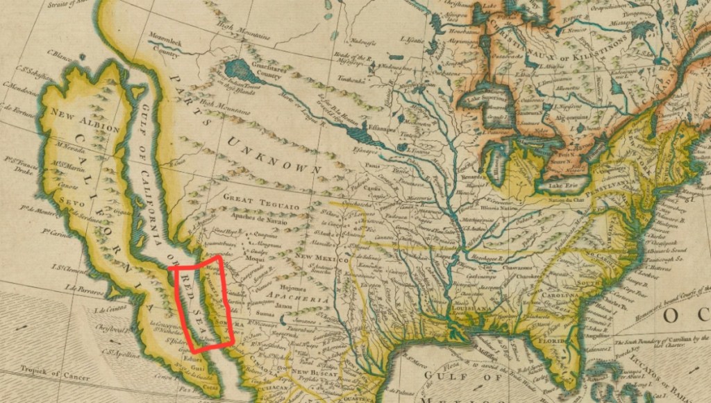
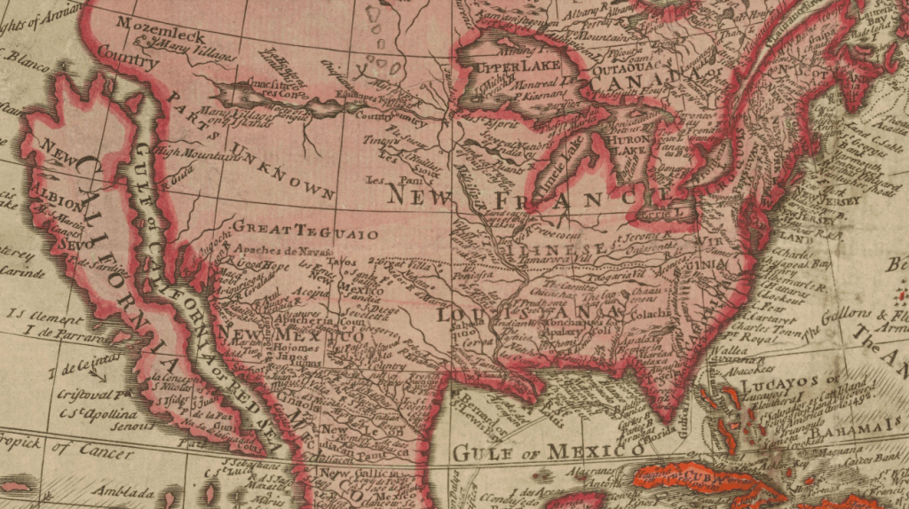
1682


‘Vermillion Sea’
1725 – MAR RUBRUM – RED SEA
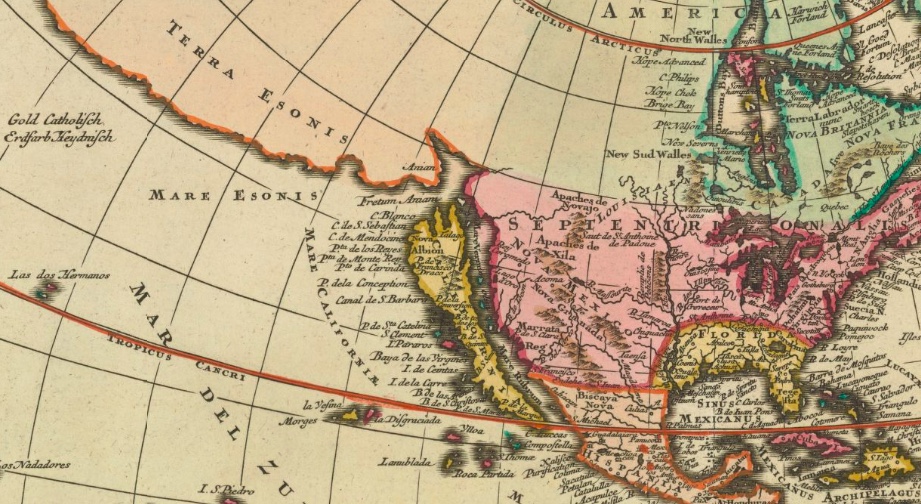
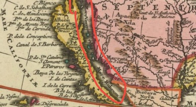
“MAR RUBRUM” (RED SEA)
German/Dutch legend top left corner
– Gold Catholisch = Yellow-colored countries belong to the Catholics
– Erdfarb Heydnisch = Earth-colored countries belong to the heathen/pagan
Orange color land in the north
– Tierra Esonis or Essonis is a Latin phrase that means “Land of Eson/Esson”
– The term “Terra Essonis” is often associated with the historical region of the Essenes, an ancient Jewish sect that is believed to have lived in the area of the Dead Sea during the Second Temple period. The Essenes are known for their strict adherence to religious practices and their communal way of life.
– The Essenes are known from various ancient texts, including the Dead Sea Scrolls, which were discovered in the mid-20th century near the Dead Sea in modern-day Israel. The community is believed to have been an ascetic and separatist group, emphasizing piety, purity, and communal living.
1745
created in London in 1745
1752
A New and Correct Map of AMERICA (London, 1752)
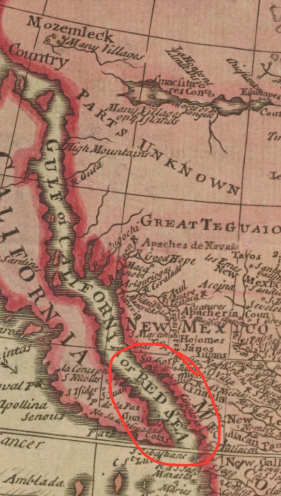
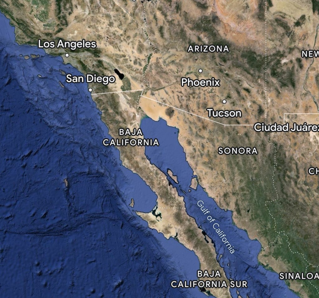
On today’s maps, California is connected and the Red Sea/Reed Sea or Sea of Sup 𐤉𐤌 𐤎𐤅𐤐 would be equivalent to the Gulf of California & the Salton Sea.

🌑7/13/33☀️
⁃ 7th New Moon, 13th day, Year 33
⁃ 190th day of the year, from the 1st New Moon on day 0
⁃ 4th day of 7 since 𐤔𐤁𐤕𐤀 (SHIBITHA)


Leave a comment